
Town of Lockport Neighbor Evidence
For a block question, start with sources that describe land and then keep each result in its proper category. Town GIS is the visual layer. The County assessment record identifies a parcel's owner, mailing address, situs address, SBL, and related details. Recorded documents add dated transfer evidence. Historic local collections can show names that appeared at nearby addresses in a particular year. None of these sources turns an adjacent parcel into a current household roster.
| Source | What It Shows About a Block | Access |
|---|---|---|
| Town GIS | Address, parcel boundaries, aerial view, zoning and utility context around nearby lots | Public map with address, street, or owner search |
| County PROS-GAR | Parcel owner, mailing and situs address, SBL, legal description, and assessment information | Public property search |
| County Clerk IQS | Recorded grantors, grantees, dates, and legal descriptions for a parcel trail | Online index, Clerk or courthouse fallback for older material |
| Library and Census sources | Dated names and address context for an earlier block | Library, NCGS, Historian, microfilm, or inquiry |
| Voter records | Individual registration confirmation or lawfully requested election data | Not a public block roster |
A tax-roll owner may receive a bill somewhere else. A mailing address can be an office, lender, post-office box, previous address, or substitute address. Label the owner, situs, and mailing fields separately when comparing Town of Lockport neighbors.
Mapping Town of Lockport Neighbors
Town of Lockport GIS provides the local starting view for the parcel method shown in this image.
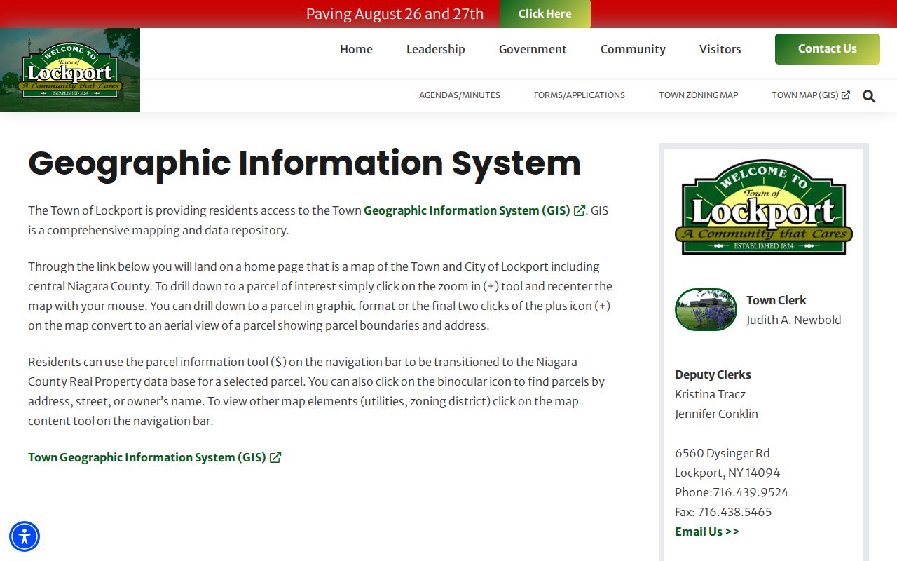
The map covers the Town and City of Lockport with central Niagara County context. Its binocular tool can find a parcel by address, street, or owner name. After zooming, parcel boundaries, aerial imagery, zoning, and utility layers can be reviewed. The dollar-sign parcel-information tool leads to Niagara County Real Property information. Neighboring polygons are useful for orientation, but the map is not a survey and its imagery can update on a different schedule from assessment data.
- Enter the exact address in Town GIS and zoom until the target parcel boundary is visible.
- Select the immediately adjoining or nearby parcel boundaries and note the SBL or other visible parcel reference for each.
- Open PROS-GAR for each parcel and compare the owner, mailing address, situs address, and legal description without assuming they describe occupants.
- When a dated ownership question remains, use the owner name and legal description in IQS, then inspect the recorded instrument through the County Clerk.
- For a whole named road rather than the immediate block, use the fuller By Street directory workflow.
This flow keeps the evidence close to the address. It does not infer friendships, household makeup, or current residency from adjacency alone.
Town of Lockport Parcel Comparisons
PROS-GAR is the County's assessment search. Its Quick Property Search offers Street Address, Tax Map number or SBL, Owner Name, Street Finder, and Municipality. The Street Finder can list properties on a public road, while a complete street number helps narrow an address. Because the address field uses contains-text matching, a short entry can return several suffixes or numbers. Select Town of Lockport when the municipality choice appears, then inspect the complete card.
For each parcel around a block, save the SBL, legal description, owner name, current or prior owner option, mailing address, situs address, and any displayed sale information. The legal description and SBL bridge the map to a recorded deed. A homestead or owner-occupancy type flag, when displayed, is a tax classification, not a promise about who lives there.
Recorded instruments are party and document oriented. Search the current owner as grantee near the acquisition date, compare the grantor, recording date, instrument number or book and page, and legal description, then work backward only when the ownership history is needed. The County Clerk records documents, but it does not determine title.
Town of Lockport Block Layers
County mapping adds a broader set of layers to the nearby-parcel view. Search instructions describe owner, address, SBL, and property-class searching, with layers for streets and highways, water, parks, wetlands, floodplains, soils, school districts, agricultural districts, fire-protection areas, and population. These layers help explain the physical or public-service setting around a block. They are not evidence of the people who live there.
County GIS can export CSV results, but the documented limit is 1,000 records. Narrow a search by municipality, street, owner, or date before export. For a small set of adjoining parcels, manual parcel-by-parcel comparison is more faithful than a broad download. Include the map source and date when saving a result because layer currency varies.
Note: A map boundary supports parcel orientation, while a recorded map, survey, or deed is needed for legal boundary or title conclusions.
Town of Lockport Historic Neighbors
A present parcel map cannot reconstruct an old block by itself. The Lockport Public Library holds city directories from 1856 to the present, as print and microfilm, and the Niagara County Genealogical Society lists a 1856 to 1999 directory run. Those sources are strongest for city and nearby urban material, not an automatic match for every rural Town road. Confirm the municipality, street, and year before treating an entry as Town evidence.
The library has local newspaper microfilm, selected obituary index years, yearbooks, Census material, and photographs. The Niagara County Historian holds obituaries from the 1840s, census from 1850, naturalization from 1836, church records, maps, and directories. Use a directory year with the closest released Census year, then compare the next and previous directory. A directory listing is dated evidence, not proof of uninterrupted residence.
Lockport Public Library
Local History supplies the 1856-present directory run, newspapers, yearbooks, Census, selected obituary indexes, photographs, and oral histories.
Niagara County Historian
County Historian holdings add early obituaries, naturalization, church material, maps, and family files. Ask for an index or appointment.
These are documented local research contacts, not neighborhood association rosters. No named Town of Lockport neighborhood association with a public household directory was established in the available research.
The 1903 Lockport Sanborn set can add building and street context for a historic City block, but it has 28 City sheets and is not a Town parcel or ownership source. Use it alongside the directory year and municipality check, never as a current-neighbor map.
Town of Lockport Neighbor Boundaries
The Town of Lockport surrounds the City of Lockport, which was separately organized in 1865. A Lockport mailing city, a City directory, or a City Court result does not by itself place an address in the Town. Check Town GIS and the PROS municipality before contacting an office or comparing a nearby parcel. City permit, code, and Clerk files are City routes only.
Historic sources can also use local hamlet names. The Town Historian identifies Wrights Corners, Hickory Corners, Warrens Corners, Rapids, and Raymond. A rural parcel may retain legal-description language while street formatting and postal labels change. When an older address chain breaks, compare the owner name, lot or map reference, nearby roads, newspaper date, and directory or Census year, then ask the Town Assessor or Historian for road-name confirmation.
Town of Lockport Voter Boundaries
New York State Board of Elections FOIL guidance explains the narrow voter-data route depicted in this image.
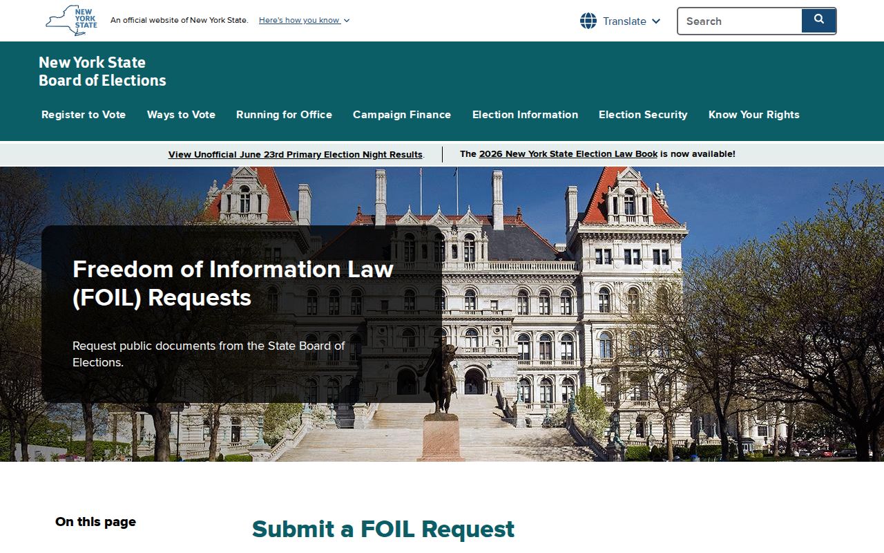
NYS Voter Lookup is an individual self-check requiring county, name, date of birth, address information, and ZIP. It is not a public street or block tool. A voter-file request requires an elections-purpose statement under Election Law §3-103(5), and confidential voter records are withheld. The public VEDA dashboard reports aggregated data rather than individual records.
| Official route | Commercial neighbor tools |
|---|---|
| Shows a defined record type and its custodian, such as a parcel or recorded instrument. | May combine data of varying age and source without proving a current Town connection. |
| Lets a reader verify dates, SBL, legal description, party role, or municipal boundary. | Can blur an owner, past address, or same-name person into a broader claim. |
| Has stated access rules, including FOIL, election-purpose, or confidentiality limits. | Does not remove the need to respect protected addresses or validate records with the official custodian. |
The image reinforces the limit: voter information may support a lawful individual or election-purpose inquiry, not an attempt to build a list of Town of Lockport neighbors.
Town of Lockport Neighbor Privacy
New York's Address Confidentiality Program provides qualifying participants a substitute mailing address while keeping the actual address confidential. Confidential voter registration is kept apart from public inspection for four years. Sealed adoption, vital, juvenile, youthful-offender, expunged, and protected court records are not block-search material. A missing name does not prove that a household is absent from the Town.
FOIL gives a route to existing non-exempt records, not a right to reconstruct private household information. Do not use utility, delivery, motor-vehicle, full-date-of-birth, signature, personal phone, email, or protected-address information as a neighbor tool. If a parcel card or deed seems inconsistent, seek the underlying custodian record rather than publicizing the conflict.
A public owner name is an association with a parcel, not a license to infer a person's routines, family members, or private contact details.
Lawful use. Use public parcel and historical records for personal, lawful research. Do not use a block record trail to stalk, harass, intimidate, or expose another person.